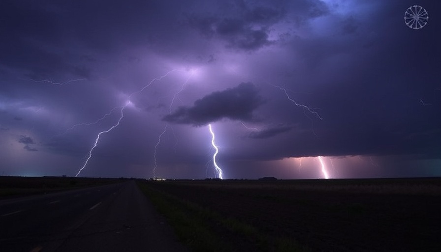
Understanding the Severe Thunderstorm Warning in West Central Texas
On May 22 at 9:55 PM CDT, the National Weather Service (NWS) in San Angelo, Texas, issued a severe thunderstorm warning for several counties, including southeastern Callahan, Brown, and northern Coleman counties. This warning remains in effect until 11:00 PM CDT, as radar indicates that a severe thunderstorm is currently moving southeast at 25 miles per hour from Trickham.
What to Expect from the Severe Thunderstorm
The storm has been reported to produce strong wind gusts of up to 70 mph and possible penny-sized hail. Residents in the area should prepare for considerable damage to trees and potential destruction to mobile homes, roofs, and outbuildings. The storm's track may predominantly affect rural areas, including towns like Owens, Thrifty, and Indian Creek, emphasizing the need for local preparedness.
Safety Precautions to Take During Severe Weather
Safety is paramount during severe weather events such as this. The NWS advises that residents seek shelter in an interior room on the lowest floor of their homes to reduce the risk of injury from potential storms. Ensuring you have a plan in place for such emergencies can significantly mitigate risks, especially in storm-prone areas.
Looking Ahead: Weather Trends and Safety Awareness
As weather patterns continue to shift, thunderstorm warnings are likely to become more frequent. Communities should remain vigilant and proactive about understanding weather alerts. It's essential not only to react to immediate threats but also to cultivate a culture of preparedness. Simple steps include keeping an emergency kit, regularly updating family members on weather conditions, and having a communication plan in place.
In this era of increasing weather extremes, awareness and readiness can save lives. Stay tuned to your local news outlets and weather services for updates and continue to educate yourself and your loved ones about the best practices for storm safety.
 Add Row
  Add
Add 


Write A Comment