 Add Row
  Add
Add 


Flood Advisory Update for Kentucky Residents
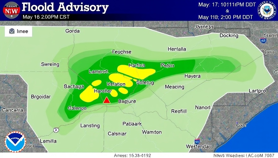
As of May 17 at 10:11 PM EDT, the National Weather Service (NWS) in Jackson, KY has issued a Flood Advisory that is in effect until May 18 at 2:00 PM EDT. The advisory applies specifically to the South Fork Kentucky River at Booneville, where elevated river levels are expected due to recent excessive rainfall.
Current Conditions and Forecast
At 9:30 PM on Saturday, the river level was recorded at 24.4 feet, which is below the flood stage of 27.0 feet. However, the river is projected to continue receding to around 18.6 feet by 8 AM on Sunday. The NWS cautions that residents should remain vigilant as conditions can change rapidly during significant rainfall events.
The Importance of Being Prepared
Flood advisories are essential for public safety, serving as crucial alerts to minimize the risk of accidents on flooded roadways. The NWS emphasizes that if you encounter flooded streets, it is vital to turn around and seek alternative routes. Being informed and prepared can help residents navigate adverse conditions and protect themselves and their property.
Looking Ahead
The NWS is expected to release an updated statement on the situation Sunday morning at 10:15 AM EDT. It remains important for residents to stay tuned for further information and heed the guidance provided by weather officials as the water levels continue to evolve.
Community Response and Resources
In light of this advisory, local emergency services stand ready to assist communities affected by potential flooding. Residents are encouraged to engage with local authorities and follow any emergency directions issued. Meanwhile, check out resources from the NWS for emergency preparedness tips that can help communities effectively respond to similar situations in the future.


Write A Comment