 Add Row
  Add
Add 


Severe Thunderstorm Warning: What You Need to Know
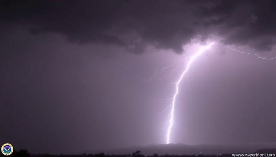
On April 25 at 10:20 PM CDT, the National Weather Service (NWS) Lubbock issued a severe thunderstorm warning for northwestern Lubbock and northeastern Hockley counties. This warning comes in response to a severe storm located just 6 miles south of Anton, moving southeast at a sluggish 5 mph. Residents in the affected areas are advised to take immediate precautionary actions.
Hazards to Be Aware Of
The storm is predicted to bring dangerously large hail, up to the size of ping pong balls, and wind gusts reaching 60 mph. Such severe conditions pose a direct threat to those outdoors, especially pets and livestock. Moreover, there's a high likelihood of damage to roofs, windows, and vehicles, creating potential safety hazards for individuals caught outside during the storm.
Protective Measures: Safety First!
As the storm approaches, it is crucial to seek shelter in an interior room on the lowest floor of a sturdy building. Staying away from windows and exterior walls can enhance safety during severe weather. The NWS also warns of torrential rainfall, which may lead to flash flooding, thereby exacerbating the overall threat to life and property. Remember, never attempt to drive through flooded roadways; it's often difficult to gauge the depth of floodwater.
Staying Updated
To stay informed during severe weather events, keep local news stations on your radar, follow the forecasts, and consider downloading a weather app to receive real-time alerts on your smartphone. Awareness can make a difference when it comes to staying safe.
Conclusion: Take Action!
In moments of severe weather like this, staying informed and taking proactive measures can save lives. If you're in the affected area, heed warnings from local authorities and prepare for the storm's impact. Protect yourself, your family, and your property.

 Add Row
  Add
Add 
Write A Comment